Aerial Mapping and Control
Aerial Mapping Services
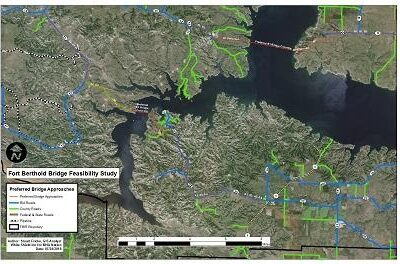
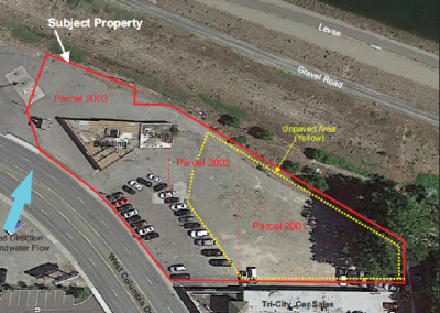
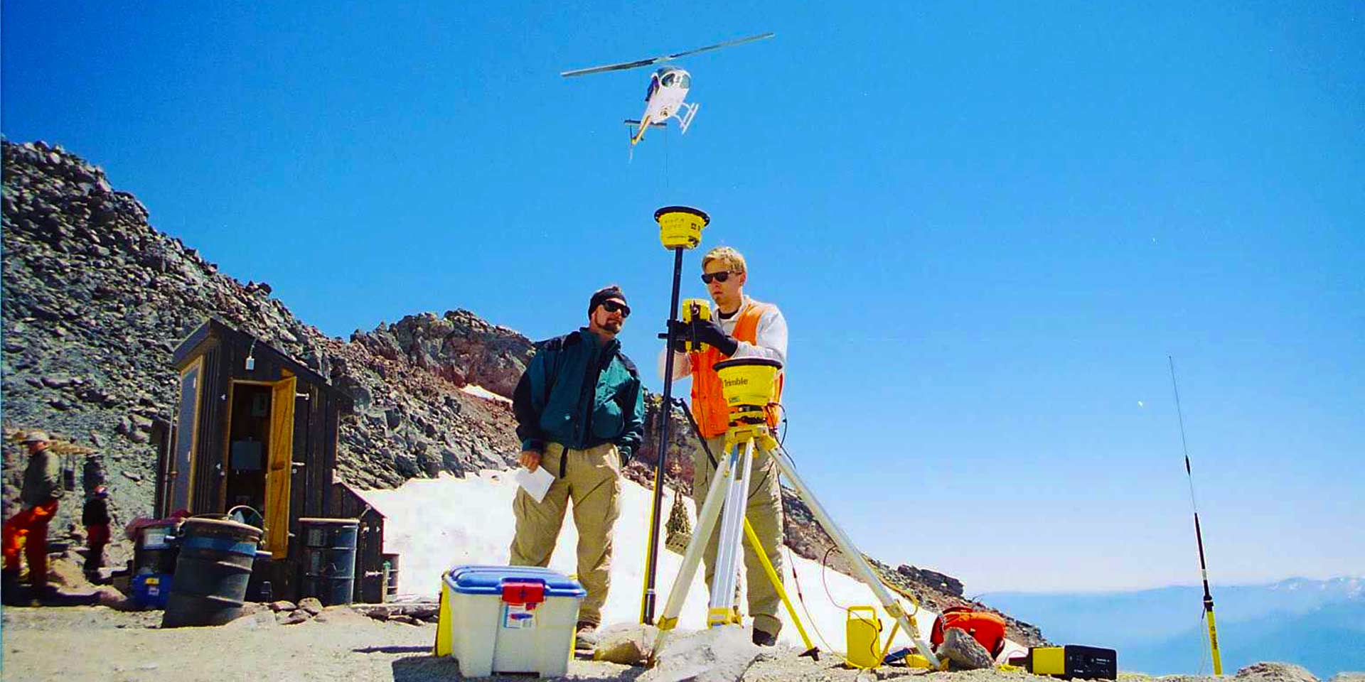
White Shield has the capabilities to manage projects involving all phases of photogrammetric operations, including aerial photography, LiDAR, aerial triangulation, ground control, planimetric and topographic base maps, Digital Terrain and Elevation Modeling, and orthophotography services. Our experienced staff, and our aerial project partners, are trained on the latest technology in hardware and software systems. Our projects include small development sites, wetland delineations, major highway alignments, cross-country powerline routes, and large wind farms. Our clients range from government agencies to local architect and engineering firms, and major energy concerns. We have completed projects throughout the Pacific Northwest, as well as Alaska.
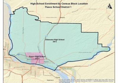
Development of GIS database for the Facility Master Plan Phase II, Pasco School District; MGT of America Consulting LLC
