Many uses for Topographic Maps
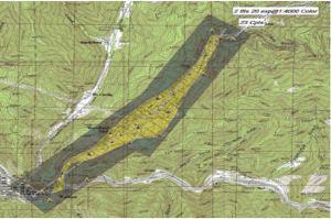
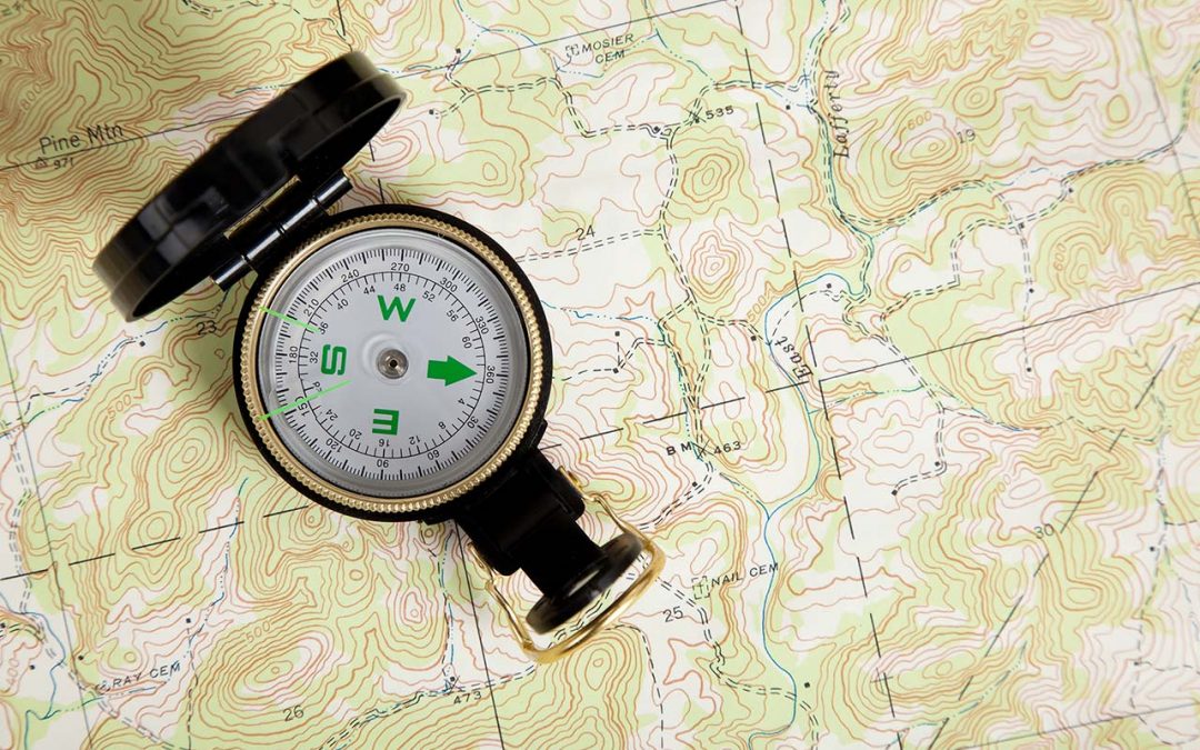
 Topographic maps show all the natural and man-made features of a piece of land. Topographic maps are usually large-scale representations, but many industries can make use of smaller-scale topographic information. Highly detailed topographic maps have been around for more than 200 years. Initially, governments used them to survey their own territorial lands and colonies. Later, governments made use of them to determine where and how to build national infrastructure. Corporations also used them to figure out how to locate and exploit their resources.
Topographical Mapping Used for Census
The US federal government embarked on a more recent topographic project that combined vast amounts topographic data it collected with geographic and other types of data collected by states and municipalities. The Topologically Integrated Geographic Encoding and Referencing (TIGER) project was designed to assist the United States Census Bureau in conducting the decennial census. It includes up-to-date information about roads, buildings and geographical features overlaid by census tract data.
High-quality topographic maps are invaluable for construction and urban planning, natural resource conservation and management, civil engineering projects, mining, environmental protection, disaster planning and a host of other applications that rely on resource allocation. Topographical map data can help planners determine the best (and worst) uses for land, based on existing use, natural features and the availability of resources.
Contact WhiteShield for topographic and geotechnical service needs
If you are planning construction, public works, civil engineering or reconstruction project, the team at White Shield offers a range of topographic and geotechnical services. We can conduct thorough site investigations that can help identify important land features and location details. This information can help direct and support decision-making on your project. By combining a range of surveying data, we can construct three-dimensional models of an area that reflect its surface features and current land-use information with a high degree of accuracy.
If you would like more information about using our topographic and geotechnical services, please contact us at White Shield at (888) 882-1142.

