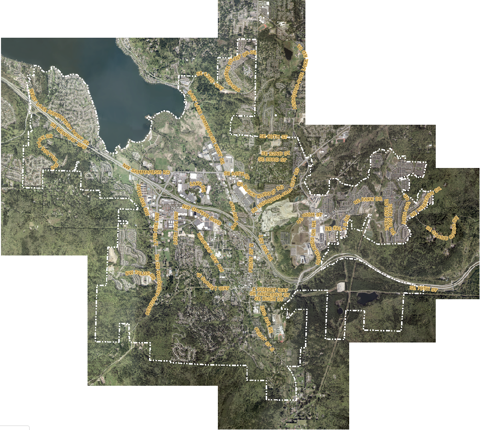
White Shield conducted surveys of 29 PLSS corners for the GIS base mapping of six sections. Locating and controlling with GPS RTK verified the existing control for uniformity with HARN network. All PLSS corners were calculated to the 1/4 level.

White Shield conducted surveys of 29 PLSS corners for the GIS base mapping of six sections. Locating and controlling with GPS RTK verified the existing control for uniformity with HARN network. All PLSS corners were calculated to the 1/4 level.