by Stuart Fricke | Sep 18, 2017 | Mapping, Surveying
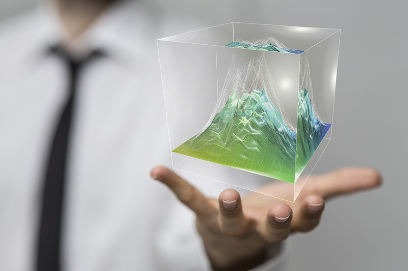
Traditional survey work provides a precision assessment of the surface of an area. Survey information includes the dimensions of an area; it’s spatial relationship to its surroundings and features within the survey area. A traditional survey has limits. A survey...

by Stuart Fricke | Sep 18, 2017 | Surveying
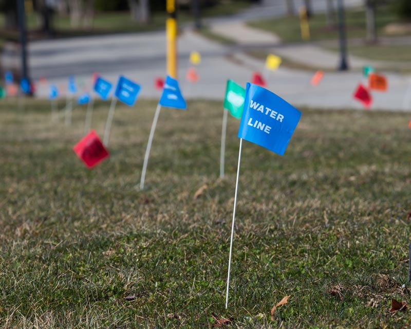
At one time, water, sewer, and natural gas were the most common buried utilities. Today, our underground landscape is a maze of unseen pipelines, conduits, wells, storage tanks, vaults, ventilation shafts, drainage facilities, and sewers. Above-ground utilities –...

by Stuart Fricke | Sep 18, 2017 | Surveying
Digging or boring anything comes with some inherent risks. If you need to bore into concrete, you face some special challenges. A major risk in concrete boring is hitting something you didn’t know existed! Concrete scanning before excavation or removal can...

by Stuart Fricke | Jun 27, 2017 | Surveying
The world is a digital age of wondrous discovery with powerful and dynamic information literally at one’s fingertips. Individuals may not be aware that geospatial technology is one of the most powerful experiences we behold every day. We should grasp and accept the...
by Stuart Fricke | Jun 27, 2017 | Surveying
How can you cost effectively collect accurate and detail data on a busy municipal street and all the while keeping your survey crews out of harm’s way? The safe collection of survey data on a busy municipal street has its many hazards and can be very costly. The...


