by Stuart Fricke | Sep 18, 2017 | Mapping, Surveying
Traditional survey work provides a precision assessment of the surface of an area. Survey information includes the dimensions of an area; it’s spatial relationship to its surroundings and features within the survey area. A traditional survey has limits. A survey...

by Stuart Fricke | Aug 22, 2017 | Mapping
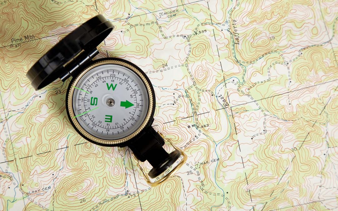
Many uses for Topographic Maps Topographic maps show all the natural and man-made features of a piece of land. Topographic maps are usually large-scale representations, but many industries can make use of smaller-scale topographic information. Highly detailed...


