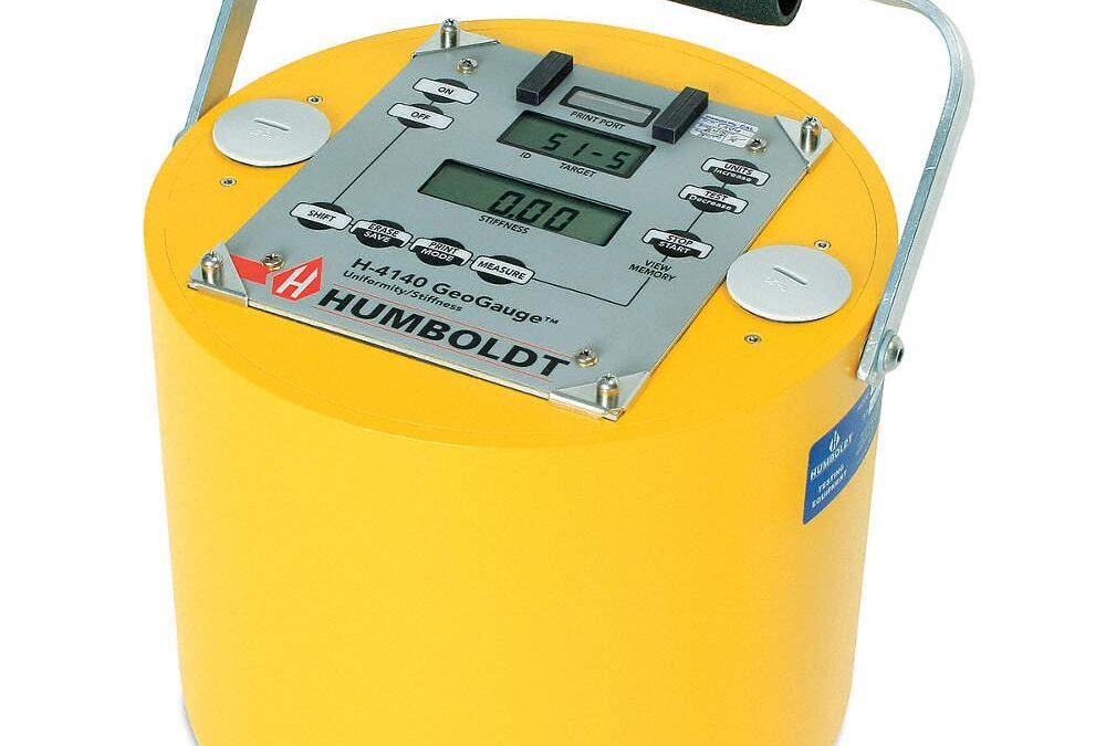
by Stuart Fricke | Jun 11, 2020 | Geotechnical
White Shield geotechnical engineers provide consultation during the construction phase of projects. During construction, we observe the suitability and condition of subgrade for the placement of foundations and pavements. The subgrade or base must have suitable...
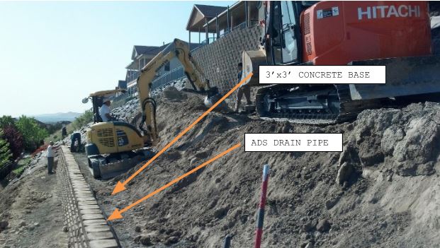
by Stuart Fricke | Dec 23, 2019 | Retaining Walls
Our engineers performed design and construction services for a segmental retaining wall with a finished height of 23 feet. The retaining wall was for a house located at 1348 White Bluffs Street, Richland, WA. The wall was constructed on a slope with a large amount of...

by Stuart Fricke | Sep 18, 2017 | Mapping, Surveying
Traditional survey work provides a precision assessment of the surface of an area. Survey information includes the dimensions of an area; it’s spatial relationship to its surroundings and features within the survey area. A traditional survey has limits. A survey...
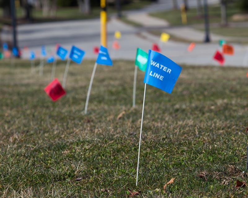
by Stuart Fricke | Sep 18, 2017 | Surveying
At one time, water, sewer, and natural gas were the most common buried utilities. Today, our underground landscape is a maze of unseen pipelines, conduits, wells, storage tanks, vaults, ventilation shafts, drainage facilities, and sewers. Above-ground utilities –...
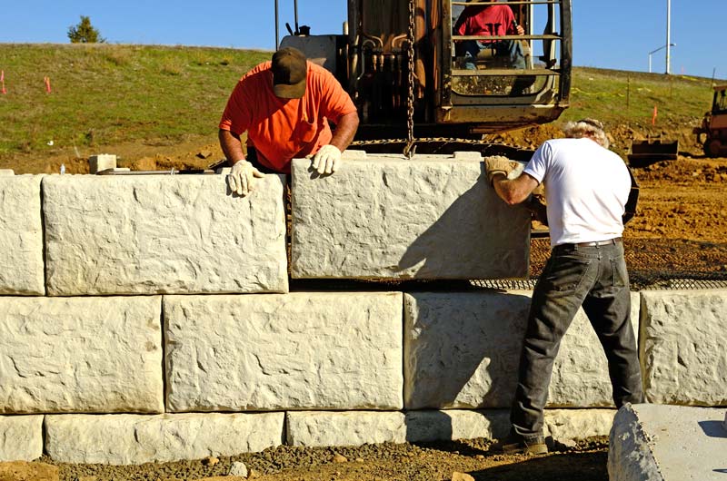
by Stuart Fricke | Sep 18, 2017 | Retaining Walls
Retaining Walls Serve Many Purposes Retaining walls can sometimes be decorative, but often, they perform a safety-related function. Retaining walls help to prevent potentially dangerous shifts in dirt, sand, and rocks. In other cases, a wall may improve the appearance...
by Stuart Fricke | Sep 18, 2017 | Surveying
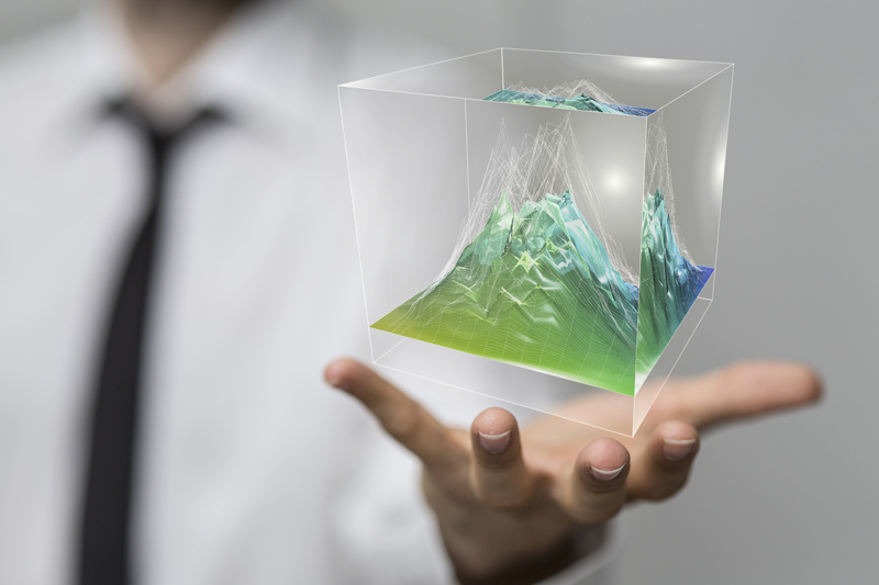
Digging or boring anything comes with some inherent risks. If you need to bore into concrete, you face some special challenges. A major risk in concrete boring is hitting something you didn’t know existed! Concrete scanning before excavation or removal can...
by Stuart Fricke | Aug 22, 2017 | Mapping
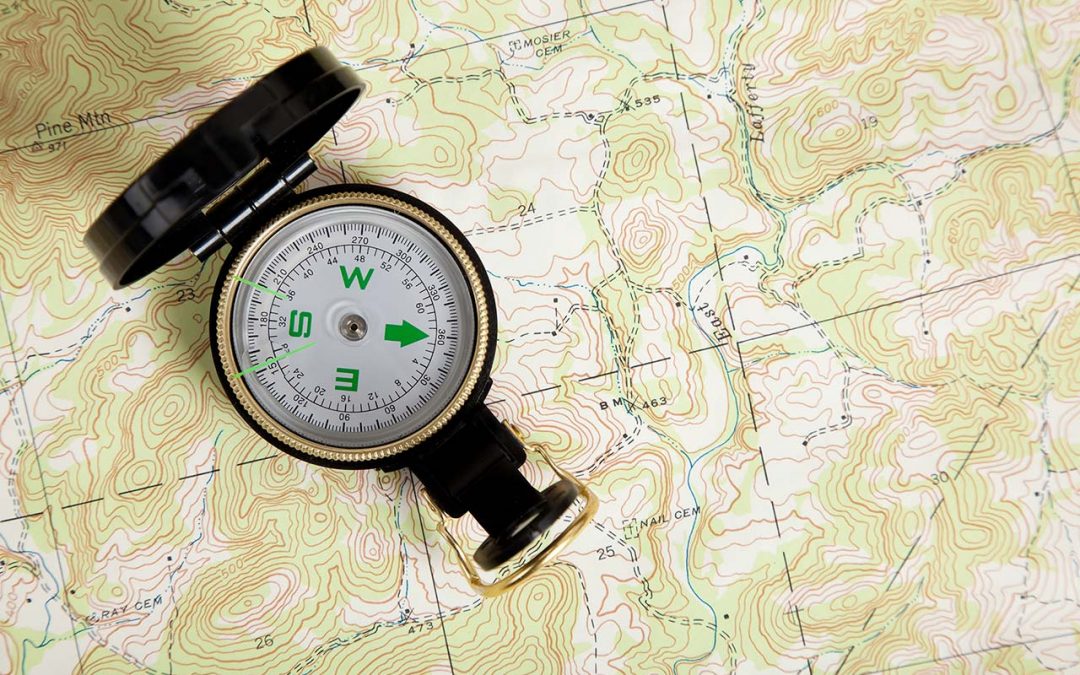
Many uses for Topographic Maps Topographic maps show all the natural and man-made features of a piece of land. Topographic maps are usually large-scale representations, but many industries can make use of smaller-scale topographic information. Highly detailed...

by Stuart Fricke | Aug 22, 2017 | Uncategorized
What is a total station? Most people have seen surveyors at work, but aren’t familiar with the tools we use. A total station is a standard piece of equipment for land surveying. What is a total station and how does a surveyor use it? A total station is an...

by Stuart Fricke | Jun 27, 2017 | Surveying
The world is a digital age of wondrous discovery with powerful and dynamic information literally at one’s fingertips. Individuals may not be aware that geospatial technology is one of the most powerful experiences we behold every day. We should grasp and accept the...
by Stuart Fricke | Jun 27, 2017 | Surveying
How can you cost effectively collect accurate and detail data on a busy municipal street and all the while keeping your survey crews out of harm’s way? The safe collection of survey data on a busy municipal street has its many hazards and can be very costly. The...
by Stuart Fricke | Jun 27, 2017 | Uncategorized
We start this newsletter with an old paradigm you heard from your mother or grandmother. “Too much of a good thing is bad for you.” Apparently, over indulgence will create a glutinous or covetous person in you. Now…a mountain of valuable minerals...


